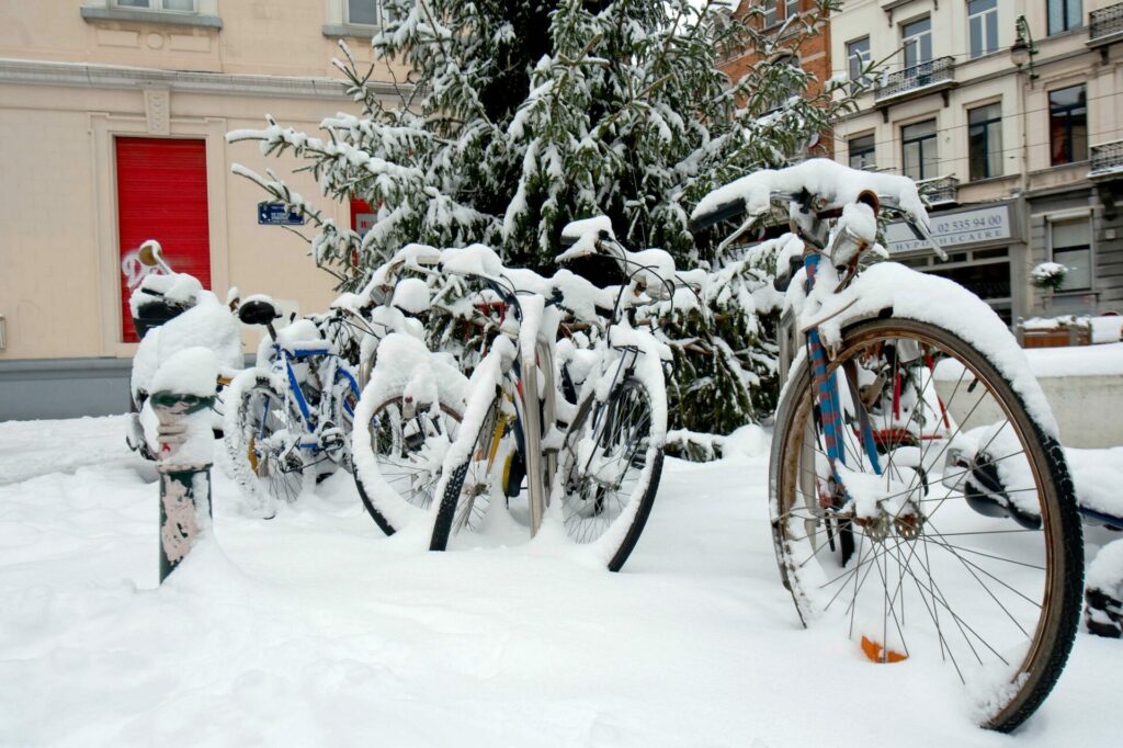
A rare natural phenomenon that brings a lot of snow – a "polar low" – was heading towards the Benelux countries on Wednesday, but Belgium seems to have mostly escaped for the time being. But there is a new chance on Friday.
The phenomenon is a small-scale low-pressure area with a warm core that leads to heavy snowfall but only occurs rarely because very specific conditions must be met: warm sea water combined with very cold upper air – the last few winters, no polar low was formed.
"On Tuesday, however, it did," Nicolas Roose of NoodweerBenelux told Het Nieuwsblad. "The water of the North Sea was still about 10 to 12°C, while at 5.5 kilometres altitude, it was -37°C. That caused the formation of such a polar low northeast of Scotland."
Now, that low-pressure area is heading towards Belgium, the Netherlands and Luxembourg. "However, the most recent weather models predict that the system will deflect over the northwest of the Netherlands towards Denmark," said Roose.
Translation of tweet: "Latest update from the PolarLow: The system is moving closer and closer to the Dutch border. There are some heavy (snow) showers around the 'eye'. More and more consensus in weather models that impact will be mainly for the Netherlands and not Belgium."
In a region really located under a band of clouds with snow, 5 to 10 cm of snow could easily fall per hour, meaning it would really be pouring down, Roose stressed. This time, it seems as if Belgium will narrowly escape the phenomenon's direct influence, although the provinces of Antwerp and Limburg may experience some "outliers" on Thursday night.
Related News
- Glaciers could disappear worldwide by end of the century
- Up to 20 cm of snow expected in south of Belgium today
- Natural snow for skiing could disappear within decades, warns Belgian scientist
"Presumably, we will see some wintry showers here and possibly even some snow. Exactly how much and whether that snow will stay put is impossible to predict at the moment," Roose said.
As the right conditions will likely still be met on Friday, it is possible that a new small-scale depression core will form over the Netherlands. "That will possibly be another polar low, although that is not yet certain," he added. "But even if it is, it is still not certain it will come to Belgium. Usually, we only know a few hours in advance how such a polar low will develop."

