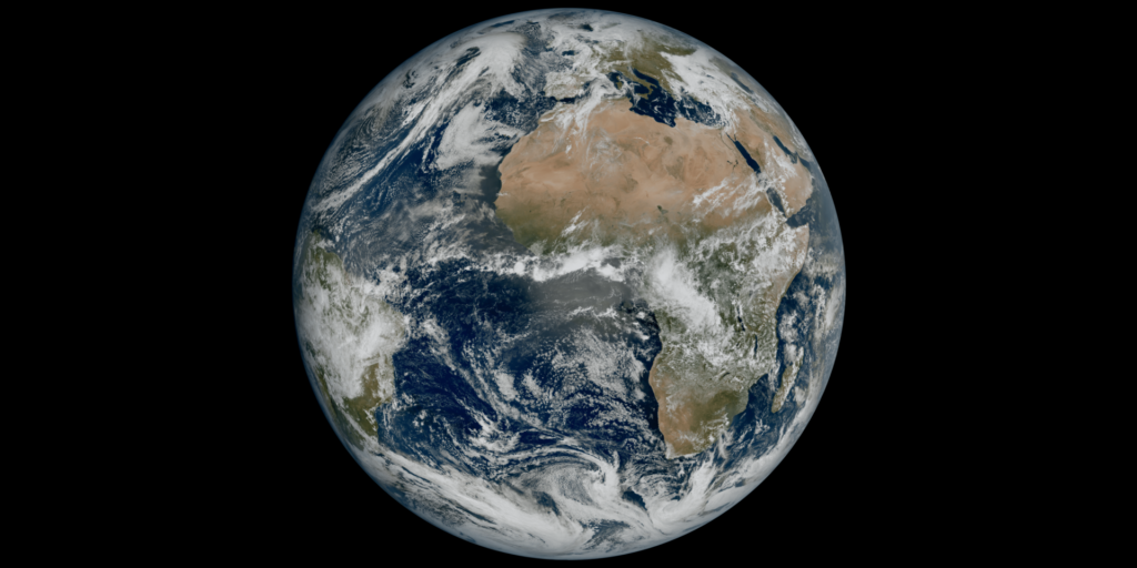
Europe's latest weather satellite, set to revolutionise weather forecasting, has produced its first images, revealing weather conditions in high definition.
Launched at the end of 2022, the Meteosat Third Generation (MTG-I1) is the most complex and innovative geostationary meteorological system ever built, taking much more detailed images every ten minutes, allowing it to collect 50 times more data than its predecessor.
The first view of Earth, captured by the satellite’s Flexible Combined Imager, shows much of Northern and Western Europe and Scandinavia blanketed in clouds, with relatively clear skies over Italy and the Western Balkans.
“The level of detail this image reveals, unachievable over Europe and Africa from a geostationary orbit until now, will give us a greater understanding of our planet and the weather systems that shape it," ESA’s Director of Earth Observation Programmes, Simonetta Cheli, said.
The image reveals details such as cloud vortices over the Canary Islands, snow cover on the Alps and sediment in water along the coast of Italy – details that until now could not be observed from space.
First sign of instability
Scientists expect extreme weather events to become more frequent due to climate change. The European Environment Agency (EEA) has warned that weather- and climate-related events will likely cause tens of thousands of deaths in the coming years, while millions have become victims of the damage these cause.
The new satellite should make it possible to quickly identify high-impact weather phenomena developing quickly, such as severe storms. The accuracy of weather warnings will be improved as a result, says Eumetsat – the European organisation in charge of weather satellites.
"We will be able to detect the first signs of instability in the atmosphere before clouds form, monitor the development of storms and track lightning activity," said Daniel Gellens, director general of Belgium's Royal Meteorological Institute (RMI).
Related News
- Feeling the cold? Long-term predictions suggest another scorching summer
- A global hotspot: Europe's temperature rise far exceeds worldwide average
The satellite is currently undergoing a 12-month commissioning phase, in which instruments are tested and the data they produce are calibrated. Data will eventually be sent to meteorological services in Europe and beyond for operational use in weather forecasts.
The MTG project will cost the 30 member states of Eumetsat €2.9 billion over a 20-year period. Belgium will account for 2.5% of this budget, amounting to about €75 million, Belga News Agency reported. The satellite is expected to provide data over the course of the next 20 years.

