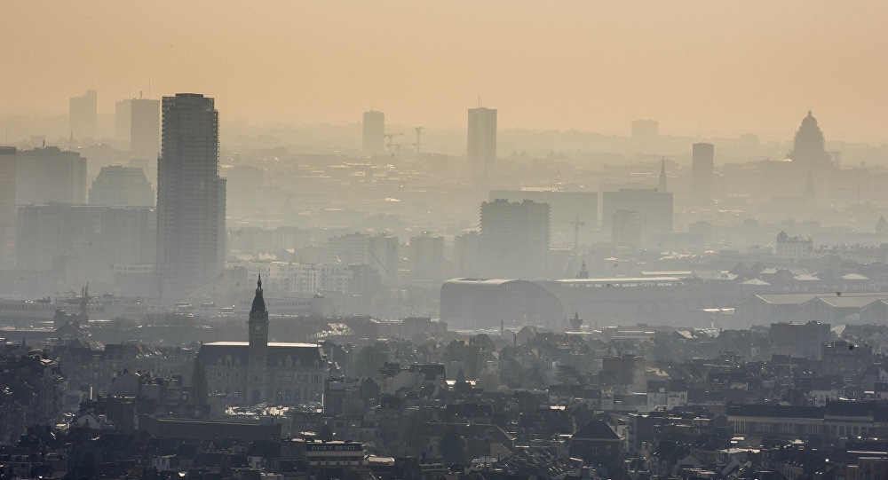
If you live in Flanders and are interested in the air quality in your area, consult this map. The map is the result of a popular information-gathering exercise by volunteers in Flanders. People were given meters to measure the most common types of pollutants in their area, and found volunteers in most communes of the region – especially in population centres like Antwerp, Leuven and Ghent but also Roeselare, Kortrijk and Tongeren.
The Brussels region did not take part in the survey, but Antwerp did, and revealed itself to be by far the most heavily polluted area of the whole region.
The situation in Antwerp is “dramatic,” according to the group carnying out the survey, although almost as dramatic is the conclusion that around one million people in Flanders are living in “seriously polluted air”.
The study was carried out by the Flemish Environment Association, the university of Antwerp and De Standaard newspaper. Some 20,000 ordinary people took part by hanging two measuring boxes on their windows during the month of May, designed to measure concentrations of nitrous oxide (NO2) – one of the most serious pollutants fro human health.
The World Health Organisation (WHO) warns that a level of NO2 above 20 micrograms per cubic meter of air is the trigger for health problems. Over Flanders as a whole, the average was 22.8 micrograms, with levels varying around the cities and the countryside.
Some 3.9 million people in Flanders are living in areas where the 20 microgram limit is exceeded – more than half of the region’s population. Meanwhile more than 800,000 live where the levels exceed 30 micrograms, with 150,000 living in air above 40 micrograms – a level the WHO describes as “unacceptable”.
Alan Hope
The Brussels Times

