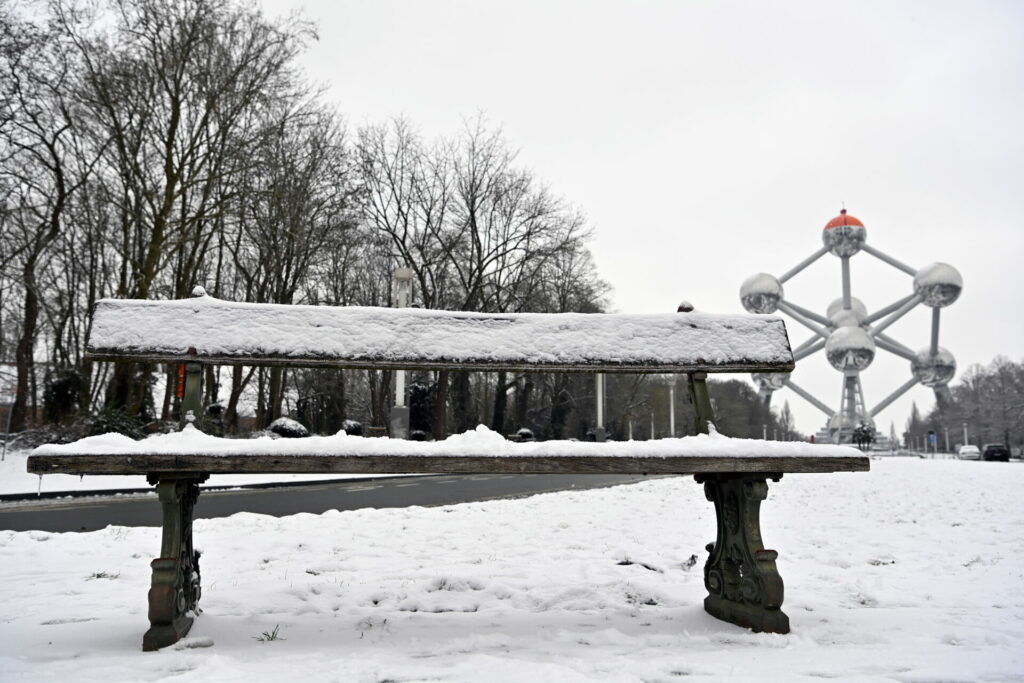
While weather reports earlier this week predicted at least 10 cm of snow to fall in Brussels on Wednesday, that now seems unlikely as the snow zone has changed trajectory and could miss a large part of Belgium.
There was talk of at least 10 cm of snow falling in Brussels and Flanders, but on Tuesday, it is looking closer to 5 cm, according to the latest predictions. The predicted 20 cm in Wallonia is also expected to be closer to 15 cm.
"A disruption is definitely coming our way," said VRT weather reporter Bram Verbruggen. "The big question is: how far north will it push? I expect several centimetres of (melting) snow everywhere. It will not be a snow bomb as some were saying. It remains to be seen how the weather models evolve."
A snow zone will enter Belgium from France on Wednesday, but the Royal Meteorological Institute (RMI)'s latest calculations show that "little or no snow" will fall in the northern-most part of Flanders: the coast, and the provinces of East-Flanders and Antwerp.
Moving northeast
"In Brussels and the southern parts of Flanders, we expect 1 to 5 cm, possibly slightly more in the southeast of Limburg," the RMI said.
In Wallonia, most snow appears to be located around a broad zone in the provinces Hainaut, Namur and Liège where up to 10 cm – and locally up to 30 cm – can fall, the institute said. "More to the north and up to the language border, we expect 3 to 8 cm."
For Verbruggen, the difficulty lies in predicting the trajectory of the disruption that is coming this way. "The disturbance is moving from the south to the north, and will at the same time move a bit to the east."
"The trajectory of such a disturbance is calculated by weather models. Most weather models make a calculation every six hours. The trajectory deviates slightly more with each calculation, which means that we are not very sure how far the disturbance will extend," he said.
On Monday, the RMI issued a code yellow warning for slipperiness for the entire country, except for the coast. Now, this has been adjusted to code green in the provinces of East Flanders and West Flanders – where melting snow or rain is expected.
Additionally, a code orange warning now also applies to all of Wallonia, as the rain can freeze on the ground into sleet, which is very dangerous.

