
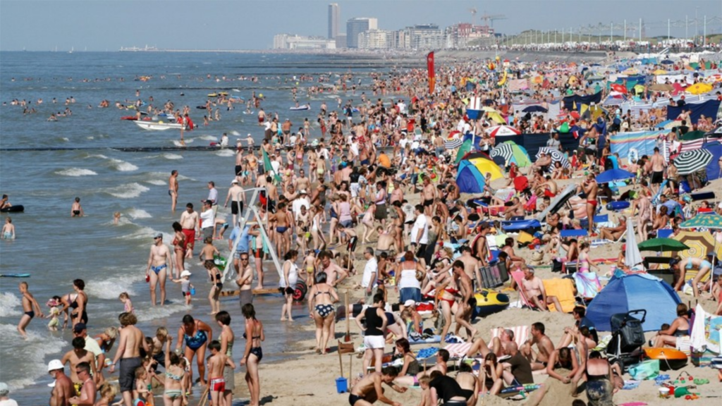
While the natural El Niño climate phenomenon, synonymous with warmer temperatures, peaked in December, it will likely still drive above-normal temperatures between March and May on land.
This El Niño was one of the five strongest on record, according to the World Meteorological Organisation (WMO). It stated that the weather phenomenon is "gradually weakening but will continue to impact the global climate in the coming months, fuelling heat trapped by greenhouse gases from human activities," the organisation said in a statement.
"Above normal temperatures are forecast over almost all land areas between March and May," the WMO added. Earlier this week, the EU's climate service Copernicus also noted that it is also partly behind new record global temperatures being set every month for the past nine months.
Impact of human activities
The natural weather phenomenon corresponds to a warming of much of the tropical Pacific and occurs every two to seven years, lasting between nine and 12 months. It alters the circulation of the atmosphere on a global scale and warms distant areas and, as the WMO points out, it occurs in the context of a climate altered by human activities.
This period, it had a maximum value of about 2°C above the mean sea surface temperature over the 1991-2020 period for the eastern and central tropical Pacific Ocean.
"There is about a 60% chance that El Niño will persist between March and May and an 80% chance that neutral conditions (neither El Niño nor La Niña, its opposite climate pattern) will be observed from April to June," the WMO said in its statement. "Every month since June 2023 has set a new monthly temperature record – and 2023 was by far the hottest year on record."
"El Niño has contributed to these record-breaking temperatures, but heat-trapping greenhouse gases are unequivocally the main culprit," the WMO said. "Ocean surface temperatures in the equatorial Pacific clearly reflect El Niño. But sea surface temperatures in other parts of the globe have been persistent and unusually high over the past ten months."
Related News
- Warmest February on record, more climate records fall
- 'The window is closing': How liveable will Brussels be if global warming continues?
It noted that the sea surface temperature in January 2024 was by far the highest on record for January. "This is worrisome and cannot be explained by El Niño alone," the WMO warned.
The WMO said that there is a chance that La Niña – which has the opposite effect of El Niño and lowers temperatures – will develop "later this year", but added that the odds are still uncertain at the moment.