
Tuesday's heavy rain caused problems and damage in several places in Belgium, with streets and cellars flooding and the fire brigade being called out for mudslides.
Wednesday's weather is slightly better, but another precipitation zone is making its way to the country.
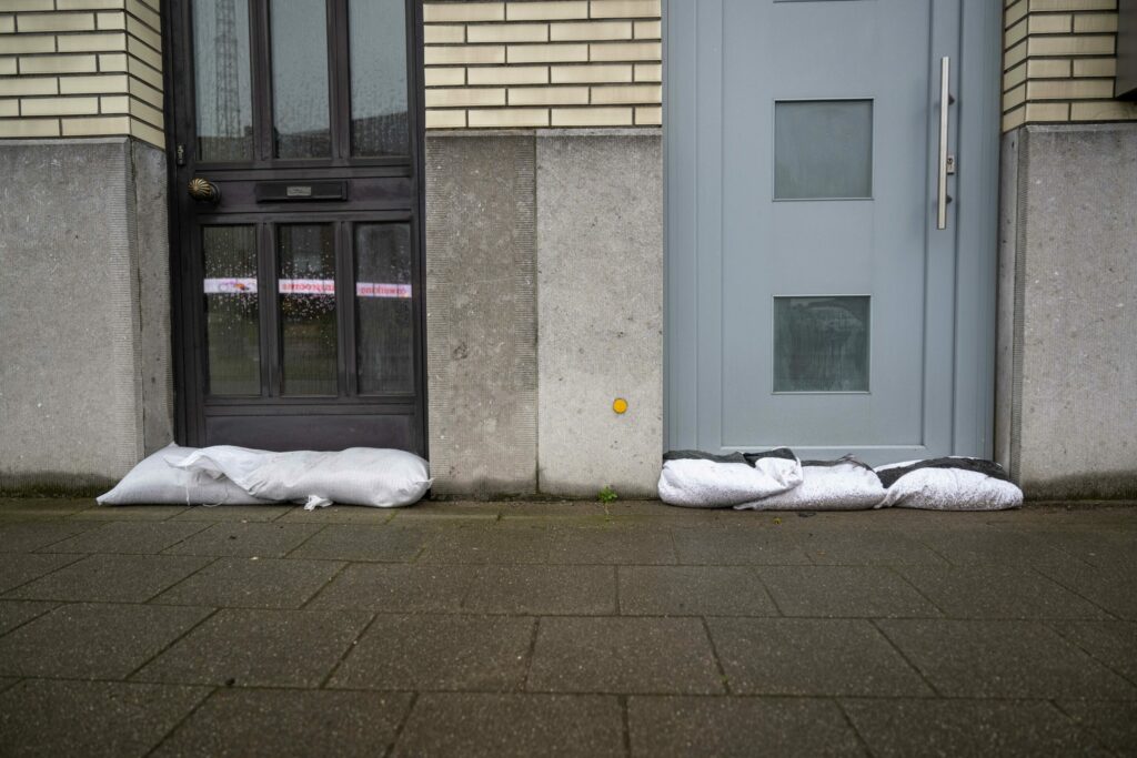
As predicted, the disturbance that shifted across Belgium from the southwest on Tuesday brought heavy rainfall with local thunderstorms and fierce wind gusts. This excessive rain caused problems in the Antwerp towns of Lier and Lint, where flooded streets and cellars, as well as upturned manhole covers, saw several streets being closed to traffic. Residents were asked to limit leaving their houses unless strictly necessary.
By the end of the day, the Rivierenland emergency zone (which covers 18 municipalities in Antwerp) received well over 100 calls, Belga News Agency reported.
Several places in the a hilly region of East Flanders (informally known as the Flemish Ardennes) were also affected by flooding and mudslides, with firefighters in the area receiving around 30 calls for assistance. The Flemish Environment Agency stated that rainfall on the Brakel-Aalst-Lier-Turnhout route, rainfall of up to 45 millimetres had been recorded locally.
The province of Limburg, especially in the south and east, also suffered flooding on Tuesday evening due to heavy rain. Streets became flooded and the fire brigade received about 20 calls in just one hour.
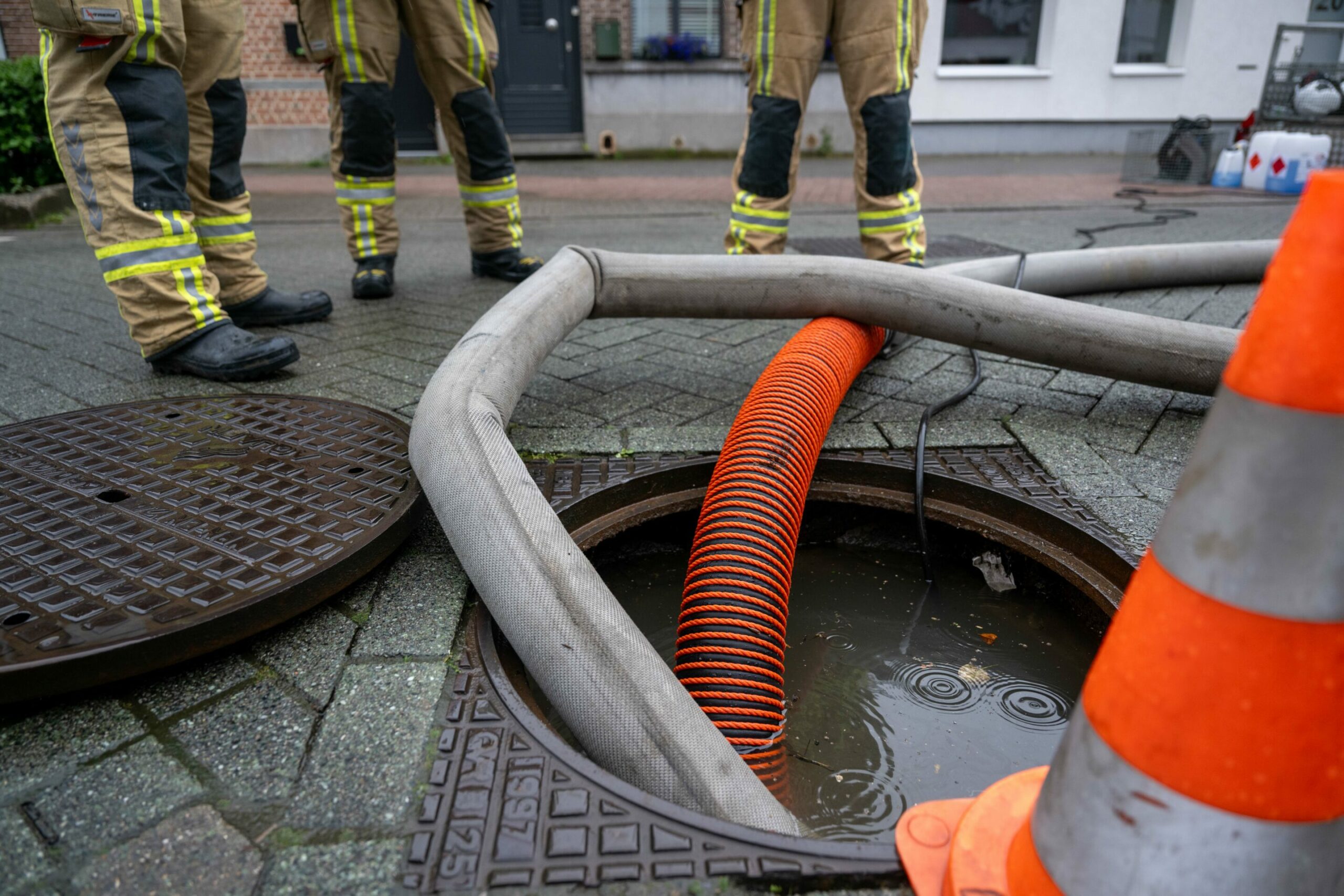
Firefighters work to clear flooded sewage ducts in Lier. Credit: Belga/ Jonas Roosens
The emergency services of Picardy Wallonia, the region between Lille, Brussels, Mons and Kortrijk, carried out more than 50 interventions, again for mudslides and flooded streets. The fire brigade highlighted heavy rain fell very locally, as some areas like the Ath region were particularly hard hit, while others nearby experienced no issues at all.
In Walloon Brabant, the heavy rain caused flooding in Chastre, Jodoigne and Mont-Saint-Guibert. The river Hain overflowed its banks in Walhain. Luckily, no houses were flooded here.
Meanwhile, the alert threshold for two rivers was exceeded in the towns of Grammont and Zwalm, in East Flanders. Alert thresholds were also reached at several stations on the Dijle and its tributaries following the heavy rainfall while the Dendre and its tributaries were in the flood early warning phase.
The Flemish Agency Waterinfo stated on Wednesday morning that some fields and meadows are still flooding after the heavy rainfall, but in most areas, water levels are already dropping again. With Wednesday's dry weather, they will drop further.
Temporary improvement before rainy spell
On Wednesday, the weather will calm, with skies expected to open later in the day. However, on Thursday, rain and thunderstorms will again pass over the country from France.
"The precipitation may be very intense at times with chances of significant precipitation amounts again, locally over 25 mm in 24 hours," the Royal Meteorological Institute (RMI) warned. Friday is also likely to start cloudy with rain or locally intense showers, meaning areas vulnerable to flooding could be at risk again.
"Local flooding is possible and on watercourses that receive a lot of precipitation, and alert levels may be exceeded again from Thursday evening onwards," Waterinfo said. However, no critical flooding is expected.
By Thursday afternoon, it will become drier from the west and clearings will appear, and Sunday and also early next week look set to remain dry.