
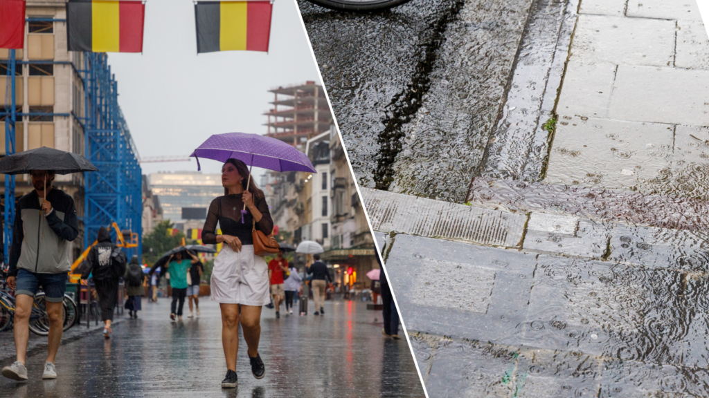
For ten months now, Belgium has experienced more rainfall than normal. In the first half of July alone, precipitation levels were much higher than average.
While last month ended on a sunny note with temperatures sitting around 30°C, Belgium's July weather was wetter than in previous years. It is now the tenth month in a row with higher levels of precipitation than average, the climatological monthly overview of the Uccle-based Royal Meteorological Institute (RMI) confirmed – marking another record.
In the first 12 days of July alone, which included the powerful storm on 9 July, 2.5 times more rain fell than usual. "In July, the weather was regularly under the influence of several fronts or disturbances coming from the Atlantic Ocean," Fabian Debal, chief meteorologist at the RMI, told The Brussels Times, pointing to a trend in the atmosphere that has been repeating itself for some time.
"Ahead of these disturbances, which sometimes bring rainfall to Belgium, hot and unstable air often moved up from the south, giving rise to thunderstorms, as was the case yesterday and today, for example. This explains the abundant precipitation."
Mixed weather
During the remainder of the month, around 10 mm of precipitation was recorded over six days by meteorologists in Uccle, bringing the monthly total to 97 mm of precipitation (up from the "normal" average of 77 mm).
While the amount of rain was above average, July was not colder than usual (an average of 18.9°C was recorded compared to the normal value of 18.7°C). The end of the month saw temperatures rise, and on the second to last day, the 30°C mark was exceeded at the Uccle measuring station, marking the first tropical day of the year. The amount of sunshine was also close to the normal value (198h 14min compared to 203h 14min).
Yet Debal pointed out that this spring and summer are in contrast with those in recent years, which were marked by drought and frequent heatwaves. "This year, it's the opposite, we haven't experienced any heatwaves and have seen regular rain."
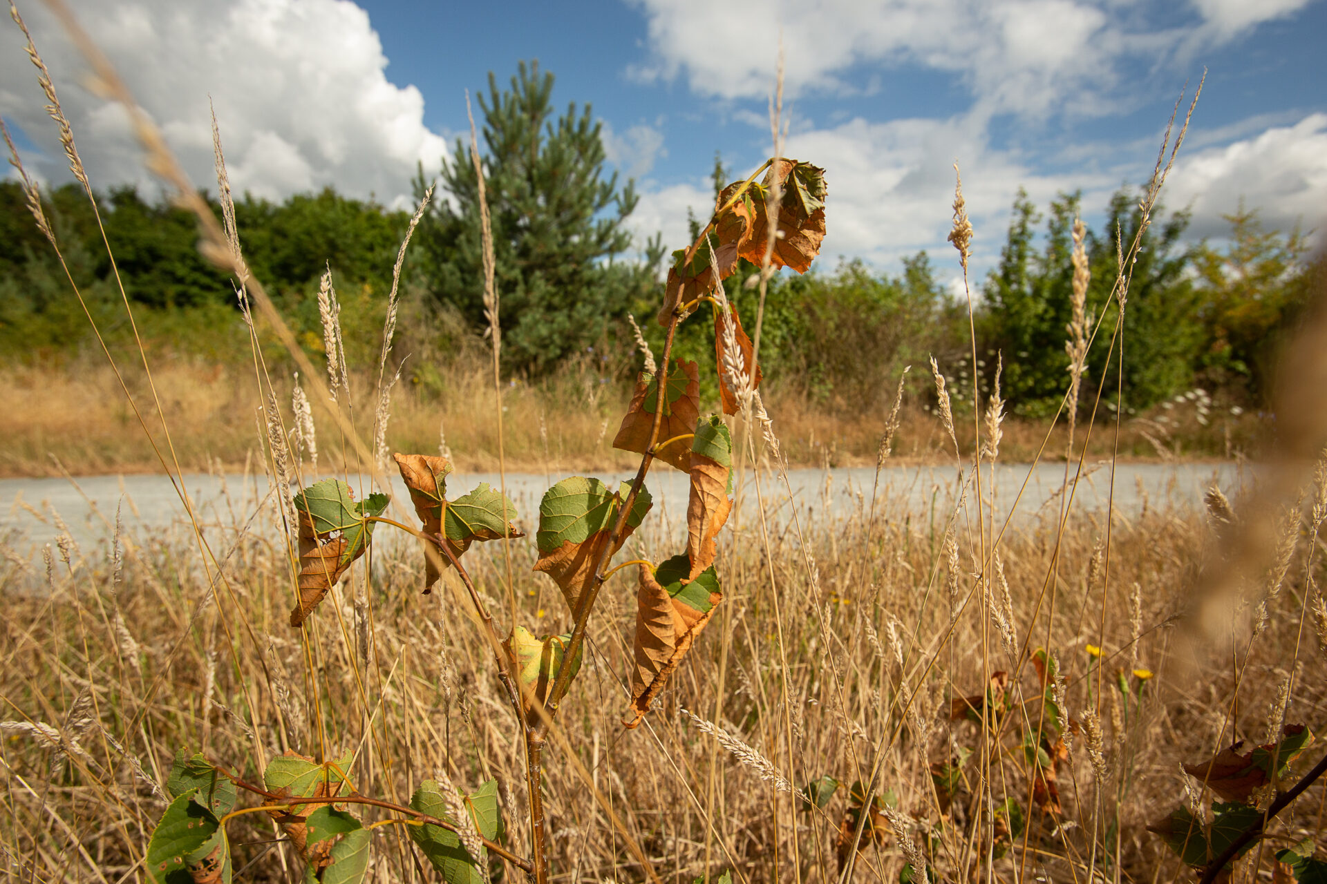
The 2022 drought in Belgium saw plants, shrubs and trees dry out. Credit: Belga/James Arthur Gekiere
While Belgium's summer weather has always been variable, when taking the effect of climate change into account both precipitation and temperature levels are projected to become more extreme. This may seem like a paradox, as climate change is often only associated with warmer and drier weather, but experts point to it having other effects beyond extreme heat.
"Temperatures are indeed warming, but this can also influence atmospheric configurations," he said. "Both anticyclonic blocking – which often leads to drought and heatwaves – and low-pressure blocking systems as we have seen over the last few weeks and months, have an extreme effect in the opposite direction. This will become more frequent with climate change."
The changing and extreme weather in recent years could be a sign of this evolution. Debal stressed this has not yet been confirmed – research on this phenomenon is still in progress – but added that it is "relevant to consider that, in many ways, the very extreme weather over summer could be an effect of climate change."