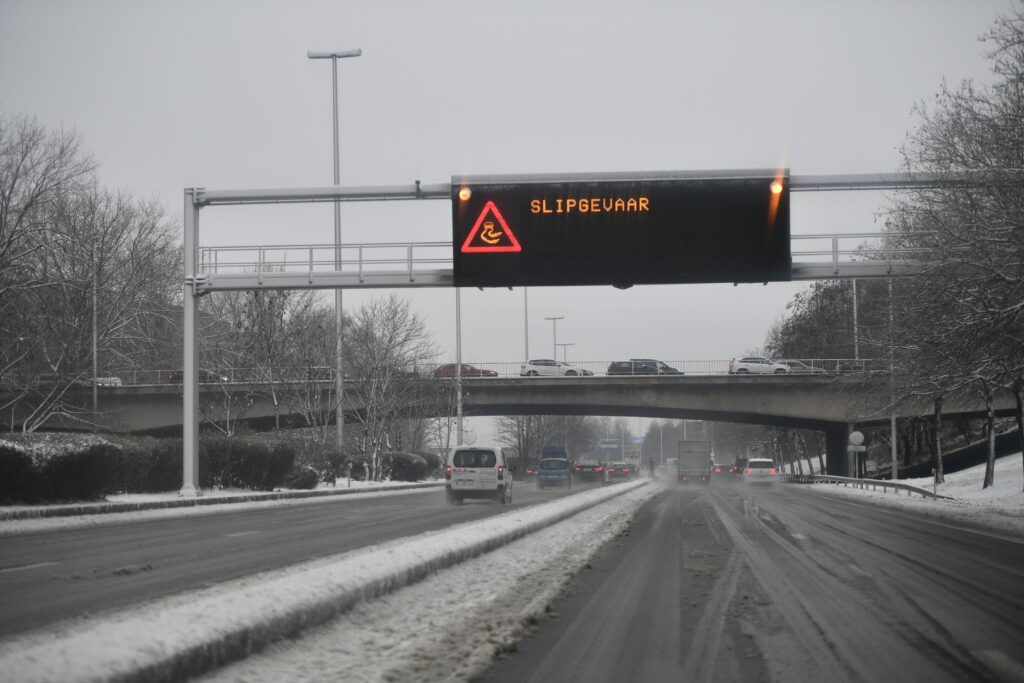
After Storm Floriane's strong winds of up to 100 kilometres per hour (km/h) on Monday, a code yellow warning for icy conditions is now in force across most of Belgium until Thursday afternoon. Up to 5 cm of snow is expected to fall in Flanders on Thursday.
Throughout Belgium, Tuesday night and Wednesday morning conditions on the roads were slippery due to frost and ice patches. On Wednesday, the code yellow warning was extended until Thursday afternoon for the entire country, except for the coast. For the Liège province, a code orange even applies.
On Wednesday afternoon, snow and melting snow from France are forecast to reach Brussels and the centre of the country. During the evening, it will rain in large parts of the area south of Sambre and Meuse rivers – which will cause the Royal Meteorological Institute (RMI) to temporarily switch back to code green.
During the night and on Thursday morning, however, it will snow again in large parts of Flanders and Brussels. In many places, the RMI expects between 1 and 5 centimetres, but more may fall locally. Given the uncertainty, the warning may be adjusted later.
In the province of Luxembourg, it will rain heavily on Wednesday afternoon and the snow is expected to melt. This can result in a cumulative amount of 30 to 40 mm in 24 hours.
This article was updated on Wednesday morning to include the latest RMI information.

