
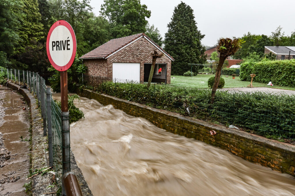
Multiple watercourses in Wallonia risk surpassing the alert threshold tonight following heavy rainfall expected until Saturday afternoon, warned the rainfall expertise unit of the Walloon Public Service (SPW) on Friday.
Flooding is “probable” in Hainaut, Walloon Brabant, and the western part of Namur province.
Storm Eowyn hit the British Isles on Friday, sweeping over Ireland and the United Kingdom towards mainland Europe. It will also impact Belgium, bringing heavy precipitation over the next 24 hours.
The Royal Meteorological Institute has issued a yellow rain warning for most of the country, forecasting swells of up to 50 l/m2 from southern Hainaut to the western part of Luxembourg province. Due to the conditions, the SPW’s rainfall expertise unit met on Friday morning to assess the situation of Wallonia’s watercourses.
Given the waterlogged soil, the SPW predicts potential pre-alert threshold exceedances or even alert threshold breaches from Friday night into Saturday.
Related News
Monitoring will be focused on Hainaut, Walloon Brabant, and western Namur province, where flooding is likely in the Dendre, Senne, and Dyle basins and the tributaries of Haute Meuse.
Flooding is also possible, though currently posing a moderate risk, in southern Namur – particularly in the Haute Sambre and Viroin basins and their tributaries.
The situation should remain under control elsewhere, although vigilance is advised. the SPW also cautions against activities near rivers, in parks, and forests in the coming days due to the expected rainfall and gusts.