
Brussels is among Europe's most polluted cities. However, the current measuring system fails to grasp the full scale of the issue. As a result, major interventions aimed at improving air quality are based on incomplete data, which risks hampering efforts.
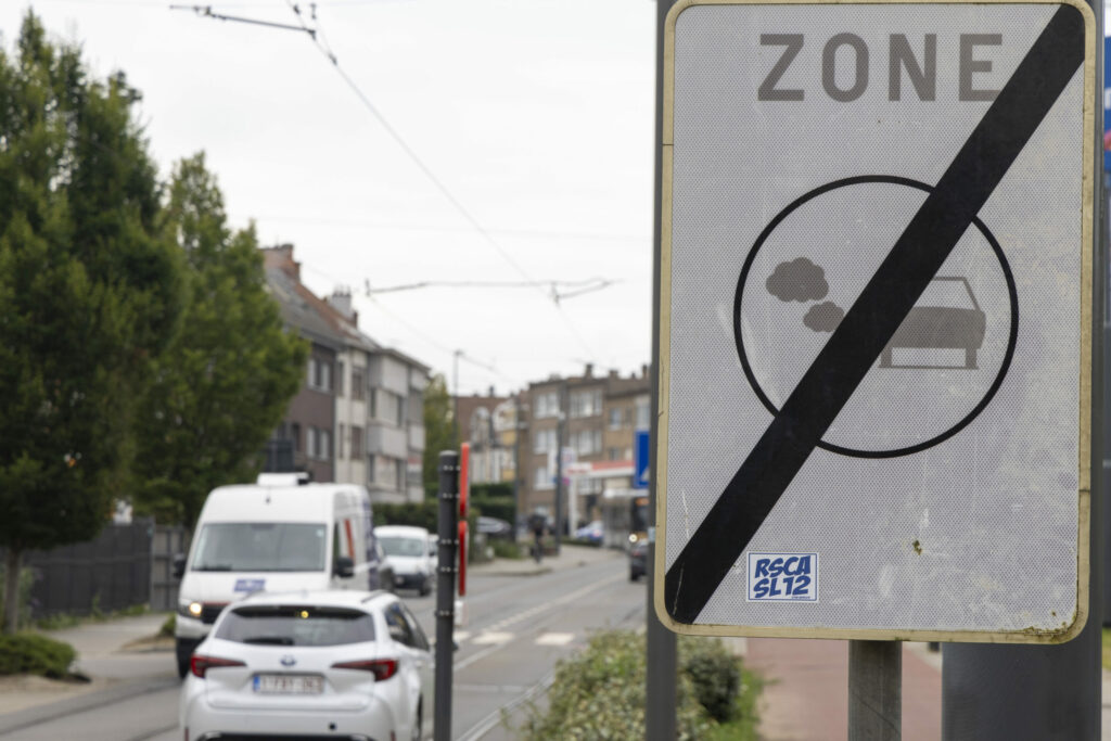
Poor air quality in Brussels leads to hundreds of premature deaths and carries significant economic costs. The situation has improved significantly over the last ten years: nitrogen dioxide (NO2) concentrations have dropped due to a greener car fleet and the Low Emission Zones (LEZ). However, this picture is slightly skewed.
"The current approach to measuring air pollution relies on a small number of fixed monitoring stations [13 in December 2024]. These fail to capture the full variability of pollution across the city," Alessandro Gambale, CEO of BuildWind SRL, told The Brussels Times.
The very localised measurements are high-quality, but they are not representative of the situation one street over, for example. "Brussels lacks the granularity needed to identify specific hotspots."
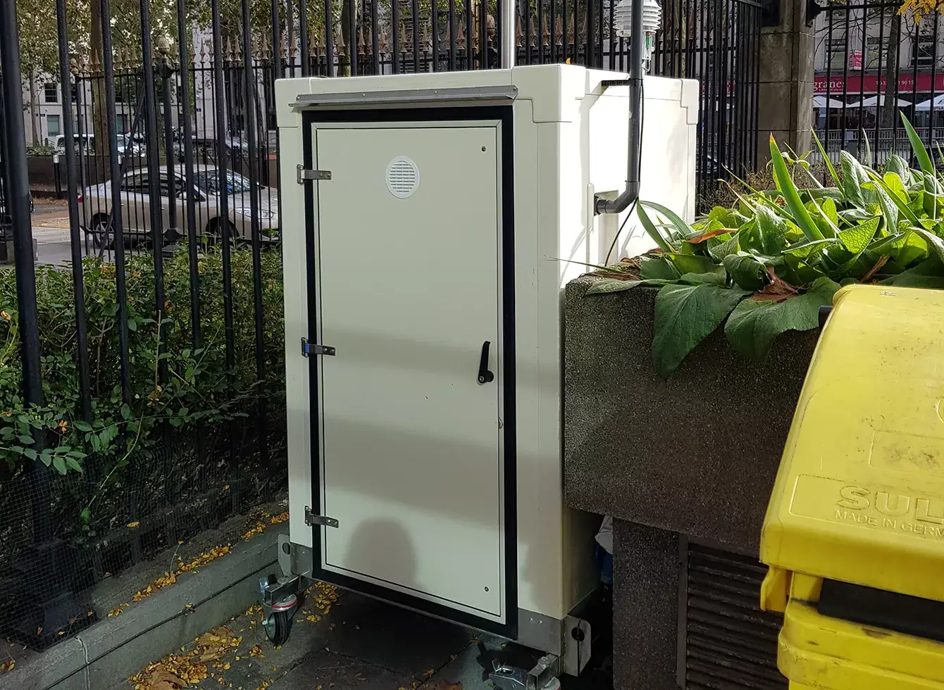
One of the 13 measuring stations in Brussels, owned by Brussels' Environment Agency. Credit: Brussels Environment
Major policy decisions, such as the implementation of one-way streets and measures as part of the various Good Move policies, are based on the best available data. But in this case, the information is incomplete or misleading. "Without accurate data, efforts to reduce pollution may be inefficient or even counterproductive, undermining public trust and health outcomes," Gambale said.
The situation in Brussels is not fundamentally different from most other European cities. Paris is five times bigger than Brussels, with a surface area of 814 square kilometres (km2), but only has 73 stations. London, meanwhile, has just 117 for its surface area of 1,572 km2.
Simulating pollution
Measuring stations, such as the ones used in Brussels, can cost more than €100,000. This explains why there are so few available. "There will never be enough high-precision sensors to cover the whole region, because this would require meters on every street corner. This is why we need to work with a different tool."
To fill this gap, Gambale, whose Belgian company specialises in the digital simulation of urban environments, developed the BrusAir project to create a predictive model of the local concentration of pollutants in the air.
The tool will combine real-time data on wind conditions and pollutant emissions from sensors with numerical simulations using physics. Using artificial intelligence (AI), it will calculate the local concentration of pollutants in the air at pedestrian height. It will also be able to predict a future situation, for example, if the weather forecast predicts a drop in temperatures, which can result in rising air pollutants.
Finally, it can simulate situations to test the effectiveness of certain measures, such as planting trees or creating one-way streets. This will help in the political decision-making process, ensuring initiatives effectively reduce polluting activities.
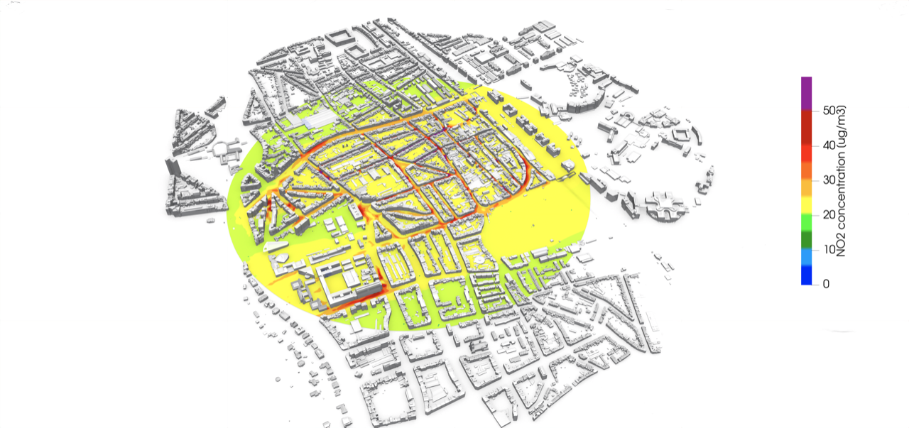
Illustration of the future output of BrusAir, based on data from the validation project on the ULB Solbosch campus.
"It can guide urban planners to build schools or nurseries in areas with lower pollution levels, ensuring healthier environments for children," Gambale said.
Once the project is up and running, Gambale wants the data to be available online to all Brussels residents. "This would allow people to limit their exposure by, for example, choosing a different walking or cycling route." BrusAir was one of two projects which won the City of Brussels' Smart City 2024 project call.
ULB pilot project
A network of reliable air quality sensors on the Solbosch campus of the Université Libre de Bruxelles (ULB) is being used to validate the technology – a sort of living lab. Alessandro Parente, a professor at ULB and Vice Dean at the Ecole Polytechnique de Bruxelles, has been running this part of the project for several years.
"We installed ten sensors, including one larger reference station, which are used to measure real-time air quality," Parente said. The sensors are placed in a range of positions to reflect various scenarios, from near the busy Boulevard Général Jacques to a one-way street lined with trees.
The location was chosen based on simulations, showcasing the most interesting spots to measure air quality. In some areas, it is much easier to make predictions based on simulations, while in others, there are more elements at play, requiring the presence of sensors.
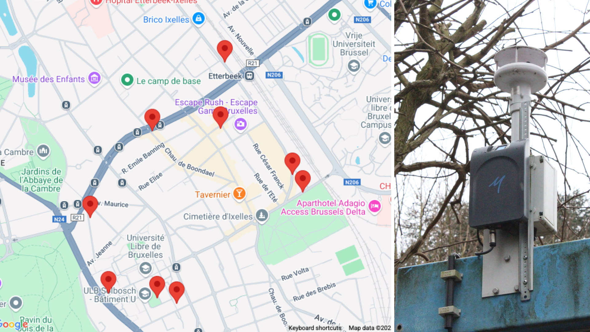
A map showing where the smaller sensors are located (Left), and a photo of a small sensor (Right).
The sensors measure particles, ozone, temperature and some even velocity. The data needs to be as accurate as possible, so the numerical simulations can be based on this information.
"The objective is to combine both these real-time measurements with the data simulations calculating the impact of several elements on pollution using AI based on longer-term data. This is used to train AI models to predict new scenarios."