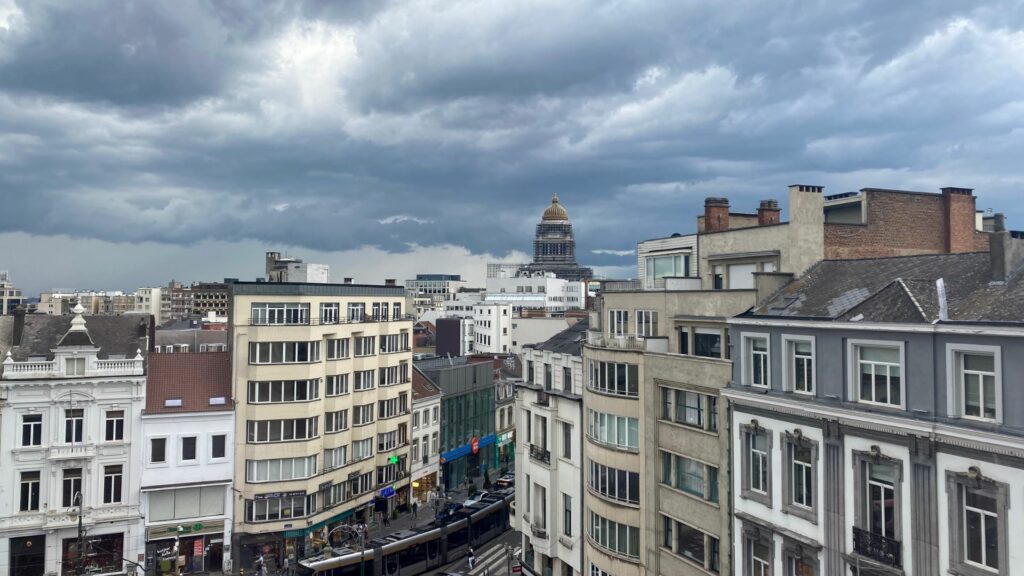
A new depression, Ivo, with an active rain zone, is moving across Belgium on Wednesday. Heavy showers are expected in the evening and on Thursday, after which skies will clear.
Not even a full month into the new year, Belgium has already experienced two storms: Eowyn and Herminia (which hit on Sunday). The Royal Meteorological Institute (RMI) predicts another storm will arrive on Wednesday.
"Storm Ivo will pass over the Bay of Biscay [near Bordeaux in France] on Wednesday evening and the active rain zone associated with the storm depression will then pass over our country," the RMI noted.
Wednesday will start overcast, with some rain in the centre and east of the country. Later in the day, the chance of local showers will increase. During the afternoon, the rain zone will shift from France across Belgium. By the evening and night, heavy rain is expected across the country.
So far, no weather warning has been issued by the RMI.
Colder temperatures
Thursday will begin cloudy with rain across the country. However, by the afternoon, it will become drier in the west and centre and clear skies will appear from the sea. Temperatures will be slightly colder: between 4°C and 6°C in the Ardennes to a maximum of 8°C elsewhere.
Winds will be weak to moderate inland and fairly strong at the sea.
At night, temperatures will drop to near freezing, and ice patches may form. Friday morning will be fairly cold, and slightly overcast in the Ardennes. Clear skies are expected elsewhere. Temperatures will drop further to a maximum of 5°C in the centre and 2°C in the south.

